As we discussed in a previous post, Dinosaur Island will be 2 kilometers by 2 kilometers. We have also decided to let the users (that’s you!) create their own islands! Ed Isenberg, who has worked with me since 1986 on numerous computer games, has created the first ‘maps’ for Dinosaur Island and then has rendered them in 3D. We are using a standard 256 grayscale bitmap, PNG or GIF file as the ‘map’.
 by Ed Isenberg")
Dinosaur Island (Version 1) by Ed Isenberg
And this is the 256 levels of grayscale ‘map’ that Ed created from which the 3D image (above) was rendered.

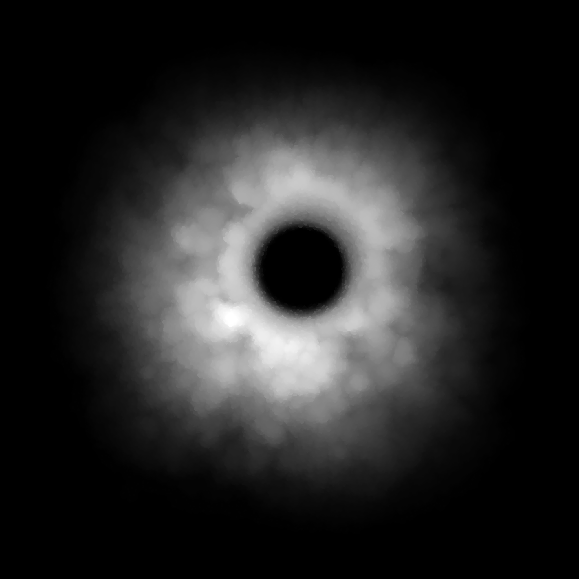
Below is Ed’s idea for a volcanic Dinosaur Island.

Volcanic Dinosaur Island created by Ed Isenberg.
And the 256 gray scale map that Ed created from which the 3D image, above, was rendered.